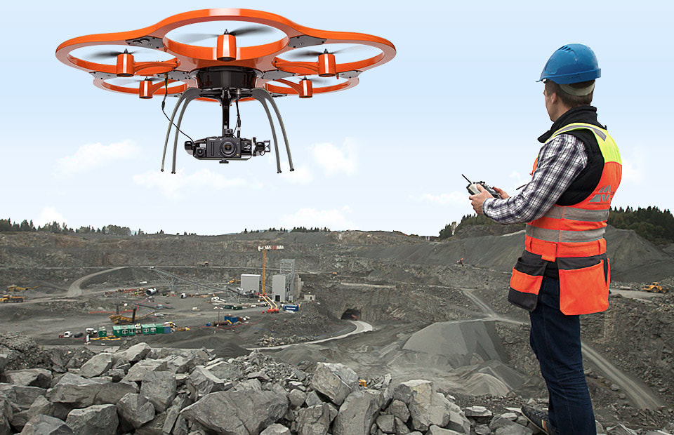
 In the Construction industry, drones are used for surveying and inspection. They have downward-facing sensors, such as red, green, and blue (RGB), multispectral, thermal, or Light Detection and Ranging (LDR) (LIDAR). These drones are also being used in many industries to save money, improve safety, and increase operational efficiency. These drones are also used to monitor large areas such as vegetation rows, roads, and railroad tracks. Companies that build and manage large infrastructure projects such as dams, reservoirs, airports, industrial complexes, and bridges are now using drones to optimise their operations. COVID-19 has had a significant impact on nearly every industry, including infrastructure, transportation, oil and gas, manufacturing, and others. To combat the COVID-19 pandemic, most countries implemented lockdown restrictions, which are now being gradually eased phase-by-phase and industry-by-industry. This has had a significant impact on the manufacturing sectors, as facilities around the world have been temporarily shut down. However, the COVID-19 pandemic has increased demand for construction drones due to an increase in remote-site monitoring, which is driving growth. Thus, construction professionals all over the world are adopting Construction Drones/UAVs in various construction projects to contain the spread of the COVID-19 pandemic due to a variety of operational and financial benefits. Prior to the advent of aerial drones, the traditional method of gathering site data was done on foot or with manned aerial vehicles. Construction professionals have taken advantage of the opportunity to obtain up-to-date images as frequently as they like in real-time by using drones. Drones in construction provide contractors with an unrivalled view of a site at a fraction of the cost, allowing them to monitor any issue, track progress, and develop better plans on-site. This is primarily related to various aspects of a construction project, such as labour deployment, material waste, site inspection, and overall return on investment (RoI). Norway, for example, has held the title of having the best and safest road network on the continent since 2015-2017, as overseen by the Norwegian Public Roads Administration. The agency is aiming for zero fatalities by 2024 while using drones for surveying, which has resulted in cost savings thanks to the use of VTOL drones. In addition, field time savings were reported to be reduced to an hour from 5 days. Construction Drones have proven to be useful throughout the lifecycle of a transportation construction project, from preconstruction (for accurate bids) to operations and maintenance (survey). The integration and collaboration of resources and stakeholders is seamless, and data is shared in real time. A complete rendering of a jobsite aids in the early detection of flaws and loopholes. This, in turn, ensures a better project management approach with shorter project timelines, more accurate site inventories, better communications, and increased safety. The advantages of using drones on-site are numerous, and their impact is listed below:
Construction Drones will be considered a standard technology tool kit in upcoming construction projects, according to industry experts worldwide. Drones equipped with ground control points (GCP) and thermal sensors are expected to gain popularity due to a variety of benefits to construction productivity and predictive analysis of future events. Machine learning and AI advancements will make data collection easier and speed up the process from capture to insight. Moving forward, thermal data captured by drones has only positive implications.
0 Comments
|
